Keep Your Eye On Metula and The Fake Hezbollah Village
on October 17, 2023
11 Comments
There have been increasing exchanges of fire on Israel's border with Lebanon, where Hezbollah has been firing at Israelis and Israel firing back. While several people have been killed on each side, it has not as of this writing broken out into a full war. That could change at any moment. If that happens, expect thousands of heavy and guilded missiles to be fired by Hezbollah at Israel, and heavy Israeli air and missile attacks on Hezbollah and the rest of Lebanon.
Expect also a land invasion by Hezbollah, which has been very openly touting its capabilities to grab and hold Israeli towns and territories. One such town which certainly will be attacked is Metula, which is a land peninsula surrounded on three sides by Lebanon.
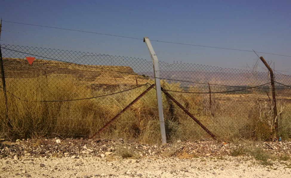
In 2013, I visited Metula, and was given a tour (from the Israeli side of the border) of a fake village Hezbollah had constructed as a launching point to attack Israel. I'm re-running that post, so when you hear in the news about Metula, you will have a better understanding: Metula and the fake Hezbollah village.
--------------------
The last in my series of posts from Israel:
After leaving the Valley of Tears battle monument, we descended from the Golan Heights towards Israel's northernmost town, Metula.
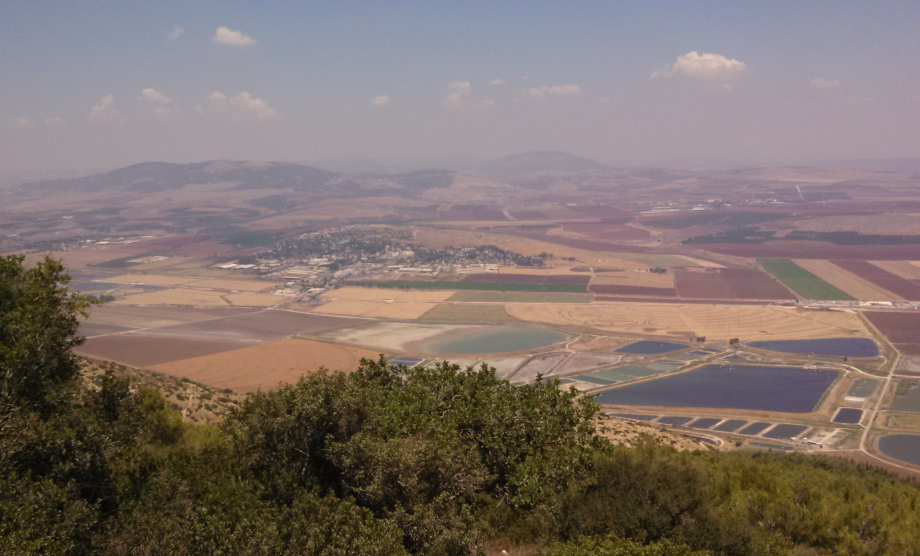
But along the way, we stopped at the Druze town of Mas'ade for lunch at the Nedal Restaurant. Here's the view towards Mount Hermon (lost then recaptured during the 1973 Yom Kippur War) from in front of the restaurant:
[caption id="attachment_60845" align="alignnone" width="501"]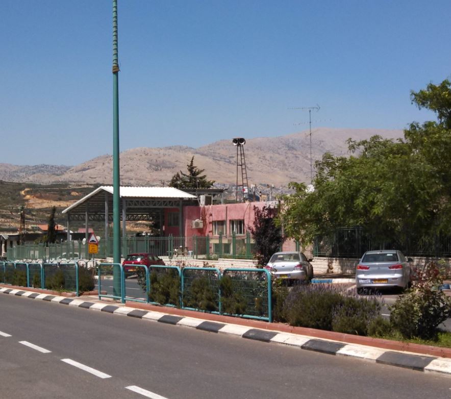 (Mas'ade Druze Village Israel, looking towards Mount Hermon)[/caption]
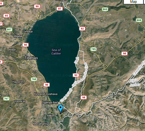
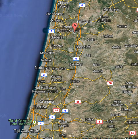
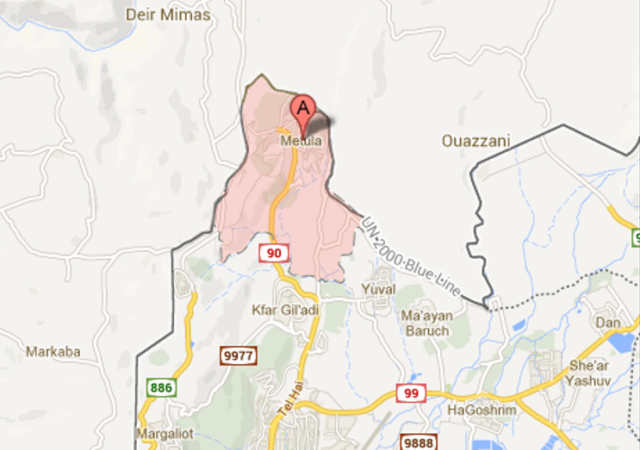
You can see on this map how far north Metula is:
[caption id="attachment_60711" align="alignnone" width="505"]
(Mas'ade Druze Village Israel, looking towards Mount Hermon)[/caption]
You can see on this map how far north Metula is:
[caption id="attachment_60711" align="alignnone" width="505"]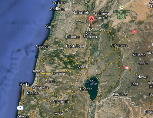 (Metula, Israel - Map View)[/caption]
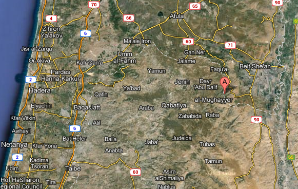
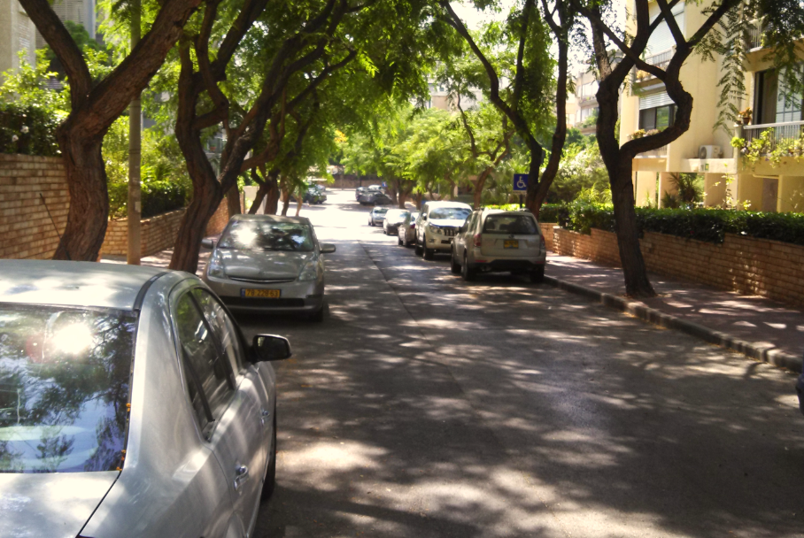
These map view give a good perspective on how Metula is surrounded on three sides by Lebanon:
[caption id="attachment_60710" align="alignnone" width="464"]
(Metula, Israel - Map View)[/caption]
These map view give a good perspective on how Metula is surrounded on three sides by Lebanon:
[caption id="attachment_60710" align="alignnone" width="464"] (Metula, Israel - Street Map View)[/caption]
 (Mas'ade Druze Village Israel, looking towards Mount Hermon)[/caption]
You can see on this map how far north Metula is:
[caption id="attachment_60711" align="alignnone" width="505"]
(Mas'ade Druze Village Israel, looking towards Mount Hermon)[/caption]
You can see on this map how far north Metula is:
[caption id="attachment_60711" align="alignnone" width="505"] (Metula, Israel - Map View)[/caption]
These map view give a good perspective on how Metula is surrounded on three sides by Lebanon:
[caption id="attachment_60710" align="alignnone" width="464"]
(Metula, Israel - Map View)[/caption]
These map view give a good perspective on how Metula is surrounded on three sides by Lebanon:
[caption id="attachment_60710" align="alignnone" width="464"]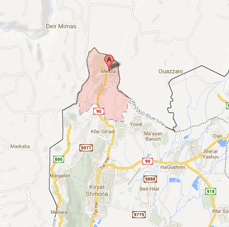 (Metula, Israel - Street Map View)[/caption]