Another in my ongoing posts from Israel:
We spent the day on the Golan Heights and the Lebanese border near Metula. We were accompanied by my good friend from Moscow days who I mentioned in a prior post. We were led by Hadar Sela of BBC Watch blog, who lives on the Golan and has an amazing knowledge of the topography, history, people, and politics.
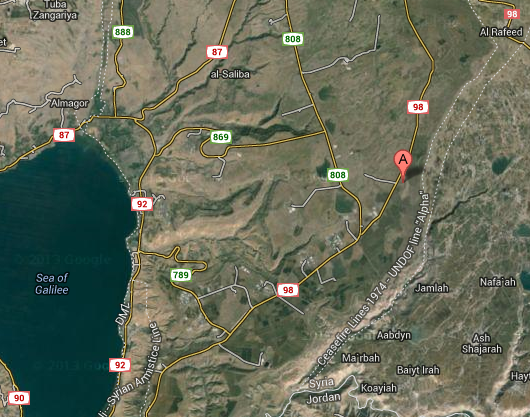
I had intended to do one blog post — but soon realized there was just too much to cover so I’ll break it down into three posts to run on separate days — The Battle of Tel Saki, The Valley of Tears, and The Lebanese Border. The blog posts will track our journey from the southern to northern Golan, then down to Metula in northern most Israel.
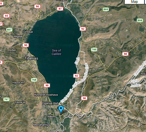
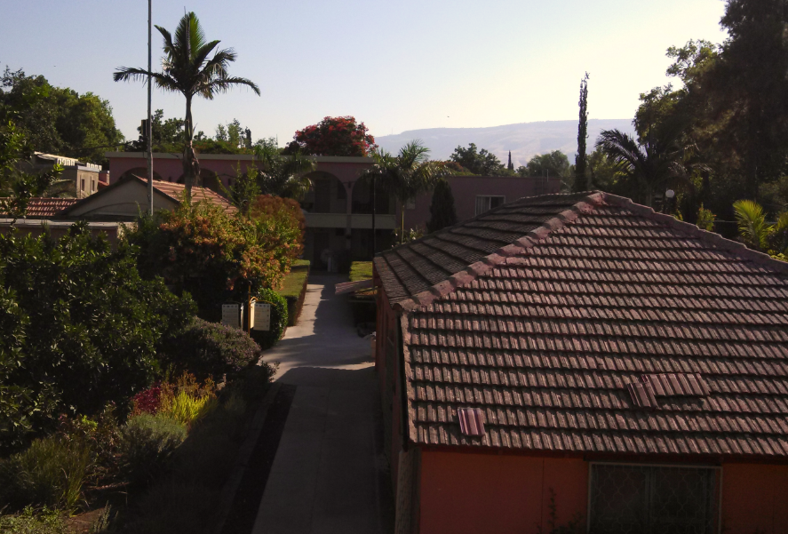
We started the day where we stayed overnight last night, Kibbutz Sha’ar HaGolan to the south of the Kinneret (Sea of Galilee), in the shadow of the Golan Heights:
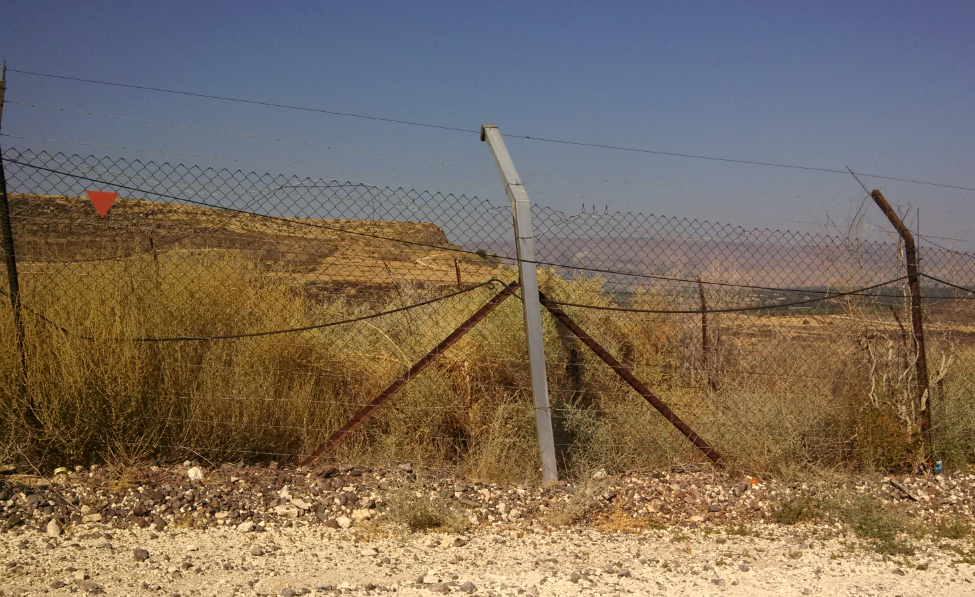
We then drove on the snake-like Highway 98 up the side of the Golan Heights facing Jordan across a deep ravine. The border fence along the road is shown in this photo — my reaction was the same as yours probably is — that’s the border fence! We were assured that the Jordanian policing of its side of the border together with the topography was sufficient.
Note also the red triangle signifying a minefield — something we would see repeatedly throughout the Golan even away from the border. Vigorous warning signs not to leave the established roads and pathways were everywhere.
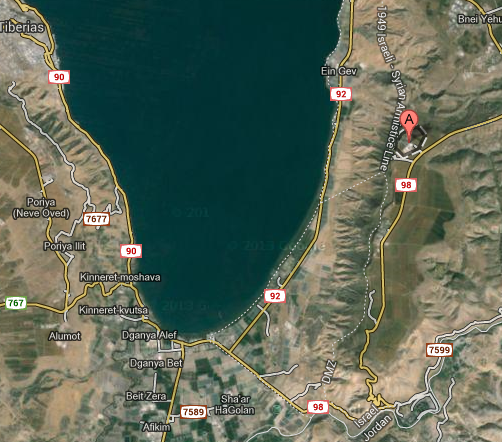
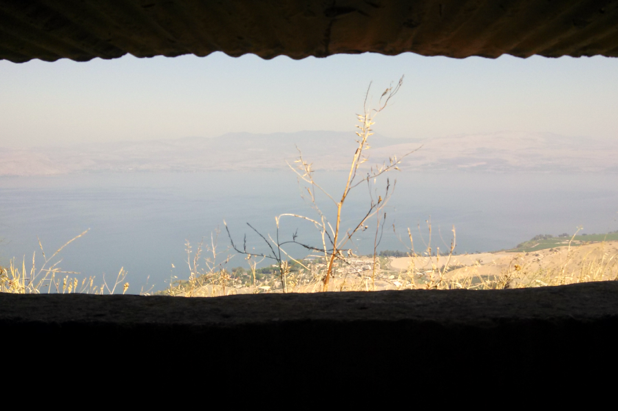
We then reached Kibbutz Kfar Haruv:
This picture was taken from an old Syrian bunker looking out toward Israel over the Sea of Galilee.
We then headed north toward the Battle of Tel Saki monument.
This video tells the story of the battle, which many credit for saving Israel’s existence, as without the heroic efforts of a relative handful of soldiers across the Golan, Syrian infantry and tanks would have poured down onto a largely undefended Galilee region of northern Israel at the outset of the 1973 Yom Kippur War.
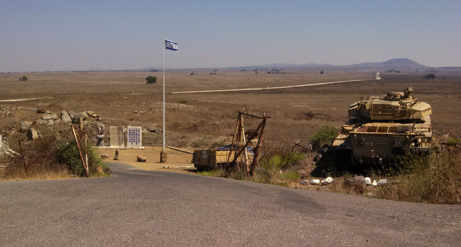
Our “guide” and I posed for a photo, with the current Syrian border fence on the near ridge behind us and Syria in the background :
Here are some photos I took at the monument, which was built and is maintained by the Friendship and Heritage foundation:
We then headed north again, towards the Quneitra Crossing, witnessing smoke rising from the Syrian side of the border where there has been fighting between Assad’s government forces and rebels, and then to the Valley of Tears. And after that, the Lebanese border, and a view of the “fake” Hezbollah border town. All for the next posts.
Prior posts from my ongoing trip to Israel:
CLICK HERE FOR FULL VERSION OF THIS STORY